
City
Mbuji-Mayi
Democratic Republic of the Congo
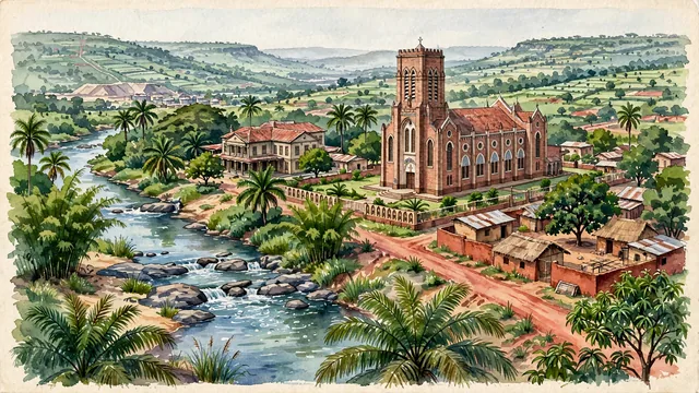
What guided this image
- Landmarks
- Cathédrale Saint-Jean-Baptiste de Bonzola; Mbuji-Mayi River; Belgian; Luba; Sankuru; lush southern Kasai tropical savanna and woodland flora
- Viewpoint
- Favor the classic viewpoint looking across the landscape toward the signature landmarks of Mbuji-Mayi, showing regional foliage and foreground textures, the iconic architectural monuments in the middle-ground, and the distant horizon fading in the background.
- Palette
- Green should be the predominant color, especially in dense oil palm groves, mango trees, and river valley bamboo.
Population2,101,332Wikidata: 1,559,073
Coordinates6.14°S, 23.59°E
Elevation549 m
Area135 km²
Time zoneAfrica/LubumbashiUTC+2
Solar noon12:26clock runs 0.4 h ahead of the sun
Through the Earth
Dig straight through the Earth from Mbuji-Mayi and you surface nearest to Napari Village, Kiribati — 413 km from the exact antipodal point.
Nearest cities in the atlas
| Kananga | CD | 132 km |
| Lubumbashi | CD | 748 km |
| Kisangani | CD | 762 km |
| Gitega | BI | 763 km |
| Kigali | RW | 855 km |
| Kinshasa | CD | 939 km |
| Brazzaville | CG | 943 km |
| Mwanza | TZ | 1,108 km |
Twinned cities
Wikidata records no twinned cities for Mbuji-Mayi inside this atlas.
This city sits on
- Democratic Republic of the Congocountry
- 7Sparallel
- UTC+2offset