
City
Jaipur
India
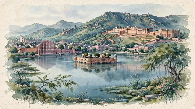
What guided this image
- Landmarks
- Hawa Mahal; Jal Mahal; UNESCO World Heritage Amber Fort; Jaigarh Fort and Nahargarh Fort; UNESCO World Heritage Jantar Mantar; lush Rajasthani dry-deciduous flora; Kachwaha Rajput
- Viewpoint
- Favor the classic viewpoint looking across the calm waters of Man Sagar Lake toward Jal Mahal with the rugged Aravalli hills and Nahargarh Fort rising in the background, showing neem branches and shoreline stones in the foreground, the floating sandstone water palace and its reflection in the middle-ground, and the fortified mountain ridges fading in the background.
- Palette
- Green should be the predominant color, especially in the forested slopes of the Aravalli hills, neem trees around the monuments, and aquatic vegetation of Man Sagar Lake.
- Guarded against
- Not Jodhpur, Udaipur, or Agra
Population3,046,163Wikidata: 3,073,350
Coordinates26.92°N, 75.79°E
Elevation431 m
Area467 km²
Time zoneAsia/KolkataUTC+5:30
Solar noon12:27clock runs 0.4 h ahead of the sun
Through the Earth
Dig straight through the Earth from Jaipur and you surface in open ocean, nearest to Hanga Roa, Chile — 517 km from the exact antipodal point.
Nearest cities in the atlas
| Kota | IN | 194 km |
| Najafgarh | IN | 221 km |
| Agra | IN | 223 km |
| Faridabad | IN | 223 km |
| New Delhi | IN | 235 km |
| Delhi | IN | 239 km |
| Gwalior | IN | 249 km |
| Ghāziābād | IN | 253 km |
Twinned cities
- Calgary CA
- Dodoma TZ
- Lagos NG
- Port Louis MU
4 of 5 twinned cities are in this atlas. See the full network →