
City
Sendai
Japan
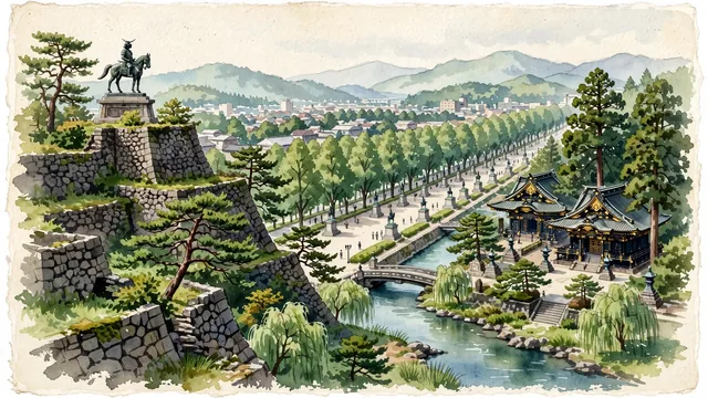
What guided this image
- Landmarks
- Aoba Castle; Osaki Hachiman Shrine; Date Masamune; Jozenji-dori; Hirose River; iconic Tohoku flora; Edo-period Date
- Viewpoint
- Favor the classic viewpoint looking across the landscape toward the signature landmarks of Sendai, showing regional foliage and foreground textures, the iconic architectural monuments in the middle-ground, and the distant horizon fading in the background.
- Palette
- Green should be the predominant color, especially in towering zelkova (keyaki) trees forming vaulted canopies, cryptomeria cedars, and black pines.
Population1,096,704Wikidata: 1,070,757
Coordinates38.27°N, 140.87°E
Elevation57 m
Area786 km²
Time zoneAsia/TokyoUTC+9
Solar noon11:37clock runs 0.4 h behind the sun
Through the Earth
Dig straight through the Earth from Sendai and you surface in open ocean, nearest to Tavares, Brazil — 1,338 km from the exact antipodal point.
Nearest cities in the atlas
| Saitama | JP | 284 km |
| Tokyo | JP | 305 km |
| Kawasaki | JP | 322 km |
| Yokohama | JP | 334 km |
| Nagoya | JP | 492 km |
| Sapporo | JP | 535 km |
| Kyoto | JP | 582 km |
| Osaka | JP | 623 km |
Twinned cities
5 of 13 twinned cities are in this atlas. See the full network →