
City
Fukuoka
Japan
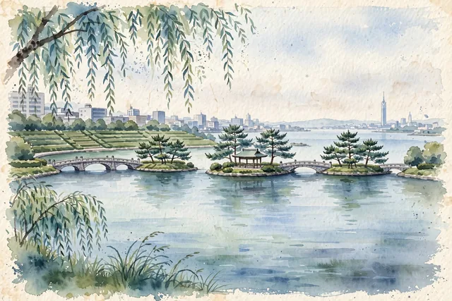
What guided this image
- Landmarks
- Ohori Park; Naka River; ACROS Fukuoka; Kushida Shrine; Fukuoka Castle; Hakata Port Tower; lush Kyushu coastal flora; Hakata
- Viewpoint
- Favor the classic viewpoint looking across the tranquil waters of Ohori Park lake toward the pine islets, Ukimido pavilion, and connecting stone bridges, showing weeping willow fronds in the foreground, the calm water reflections, stone bridge arches, and red pavilion in the middle-ground, and the soft city skyline and Maizuru Park pine woods fading in the background.
- Palette
- Green should be the predominant color, especially in the thick pine islets of Ohori Park, the stepped forest terraces of ACROS Fukuoka, and ancient camphor groves.
- Guarded against
- Not Tokyo, Osaka, or Kyoto
Population1,612,392Wikidata: 1,603,043
Coordinates33.60°N, 130.42°E
Elevation8 m
Area340,030,000 km²
Time zoneAsia/TokyoUTC+9
Solar noon12:18clock runs 0.3 h ahead of the sun
Through the Earth
Dig straight through the Earth from Fukuoka and you surface nearest to São José do Norte, Brazil — 290 km from the exact antipodal point.
Nearest cities in the atlas
| Hiroshima | JP | 207 km |
| Busan | KR | 210 km |
| Ulsan | KR | 238 km |
| Changwon | KR | 242 km |
| Daegu | KR | 303 km |
| Gwangju | KR | 364 km |
| Daejeon | KR | 413 km |
| Kobe | JP | 454 km |
Twinned cities
5 of 8 twinned cities are in this atlas. See the full network →